
The Collaborative Center for Lanslide Geohazards serves the following 4 regions: Appalachia, Caribbean, Pacific Ranges, and Rockies. Each of the geographic areas/regions presents unique characteristics that challenge our knowledge of landsliding. The regions of focus will not be independent entities, rather, members of an integrated system within which knowledge is shared and generalizable science concepts are developed.
Appalachia
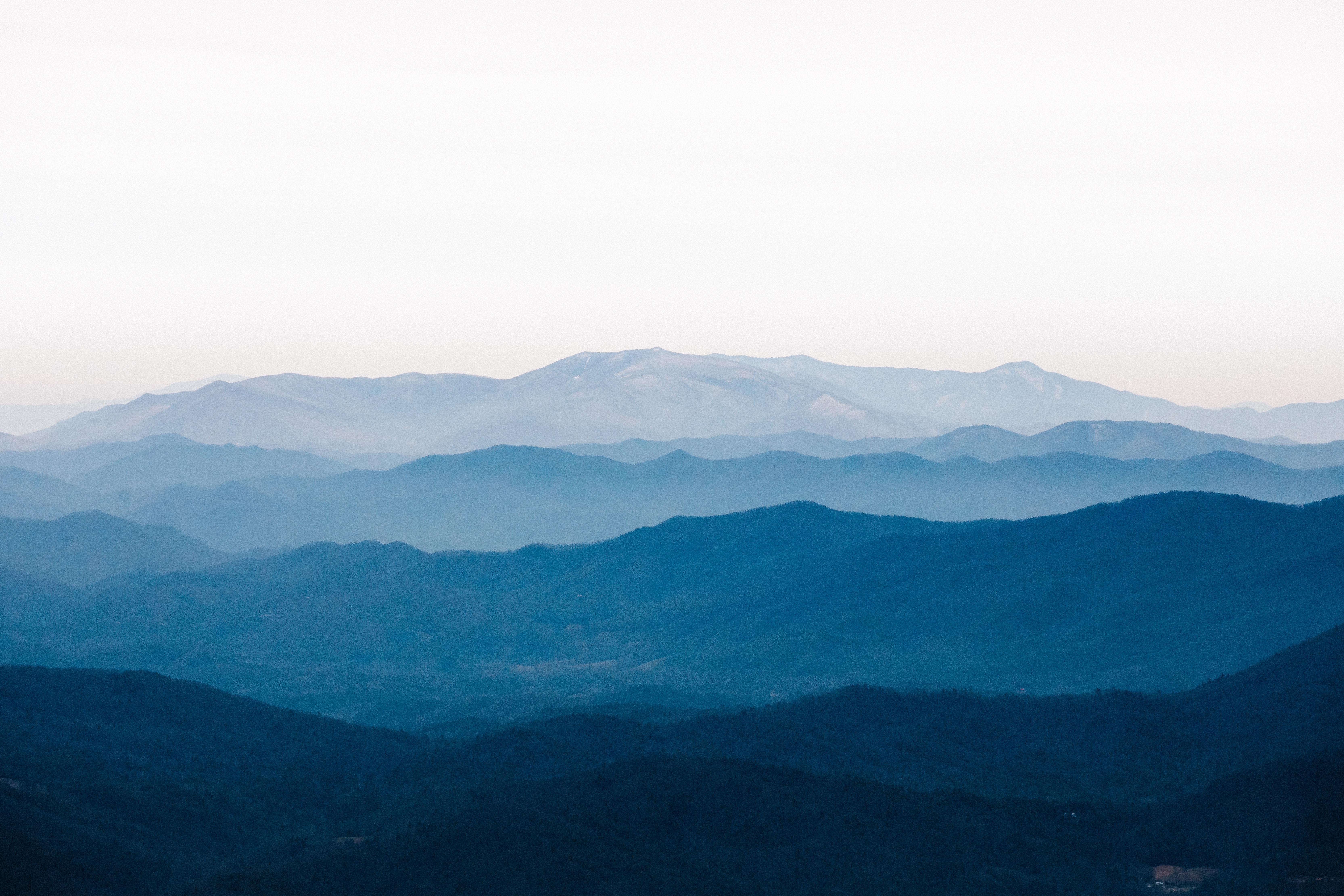
The Appalachian Region, spanning from Alabama to Maine, showcases varied landslide mechanisms shaped by geology and topography, from widespread failures in low relief areas like the Allegheny Plateau to high rainfall-induced landsliding in steeper regions such as the Smokies and Adirondacks. Dominated by soil and weathered rock failures, these areas face changing forest compositions, amplified rainfall from global warming, and anthropogenic hazards from mining, emphasizing the need to comprehend cascading downstream effects and sediment routing.
Caribbean

The US Caribbean territories, including Puerto Rico and the US Virgin Islands, are situated in a seismic zone along the North American-Caribbean plate boundary. Despite representing just 1% of the national population, Puerto Rico's densely populated main island faces extreme landslide susceptibility due to natural conditions, historical agriculture, informal road networks, and climate changes, with events like Hurricane Maria in 2017 highlighting the island's heightened vulnerability and prompting a surge in landslide research and awareness.
Rockies

The US Rocky Mountain Region, shaped by various geological forces, hosts diverse lithologies and faces frequent landslides, including debris flows post-wildfires, rockfalls along steep slopes, and slow-moving earthflows in areas of weak geology, posing risks to transportation infrastructure. Triggered mainly by meteorological events like rainstorms, these landslides exhibit aspect dependence, with south-facing slopes showing increased vulnerability, as seen in notable events like the closure of US interstate 70 due to debris flows in 2021.
Pacific Ranges
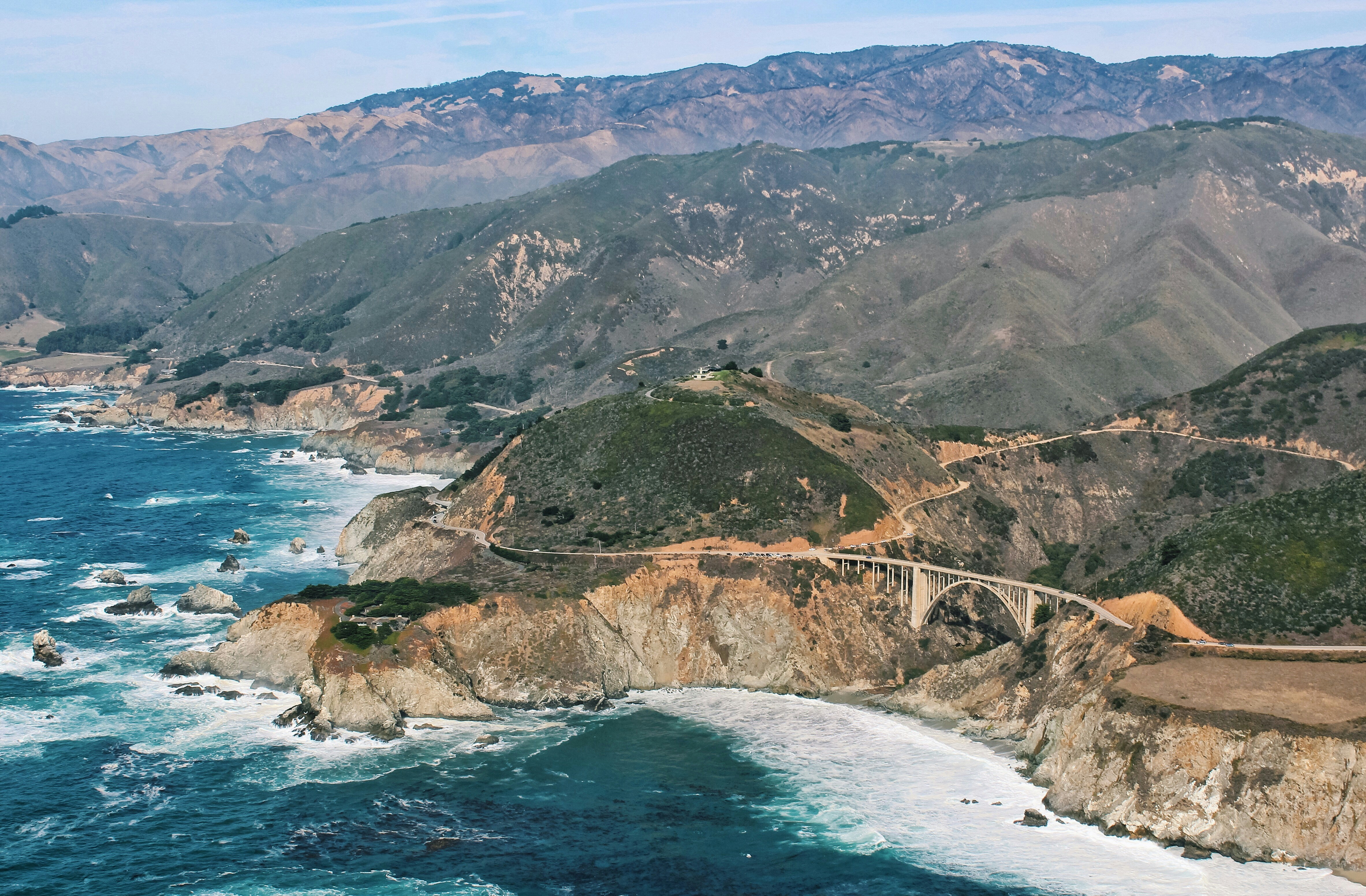
The Pacific region, encompassing California, Oregon, and Washington, displays diverse landscapes affected by various geohazards such as earthquakes, rainfall, and wildfires, influencing distinct patterns of landslide triggers across subregions like Cascadia and California. While rainfall is a prevalent landslide trigger in Cascadia, California faces post-wildfire slope instability, notably demonstrated by the 2018 Montecito debris flows, prompting active landslide hazard programs and publicly accessible databases in the region's geological surveys.