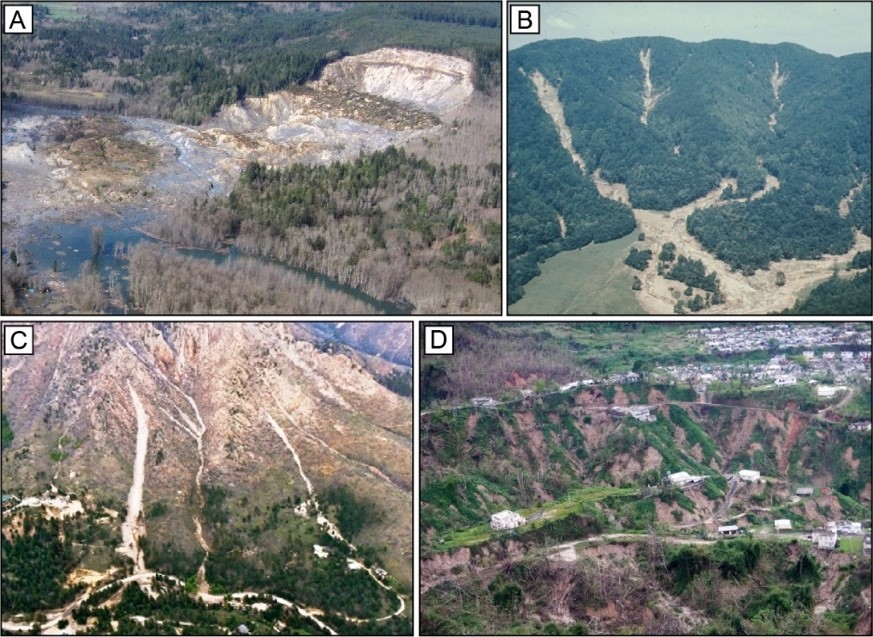
Dynamic Evolution is about understanding how anthropogenic activities compound with natural disturbances (e.g., wildfires) to impact the occurrence and risks of landslide hazards, and the cascading effects of landslides occurrence on human and natural systems. Dynamic evolution will expand our spatial focus to larger watersheds and effects on downstream channel networks, within a time frame from the middle of the 20th century to the present. It will investigate how humans and anthropogenic climate change might have altered the baseline dynamics of landslides learned from the Legacy section.
The Dynamic Evolution research thrust focuses on three questions:
Dynamic Evolution Q1:How have anthropogenic changes impacted hydrologic drivers of landslides?
Dynamic Evolution Q2: How has landsliding activity evolved during the Anthropocene? How can we disentangle landsliding caused by land use and climate changes?
Dynamic Evolution Q3:How can we develop actionable science models for community engagement?
Research activities will revolve around land conversion to agriculture and forest roads in Puerto Rico; timber harvest, forest roads, and fire suppression and dynamics in Southern California, Oregon, and Washington; and urbanization in Puerto Rico and the Seattle metropolitan area.