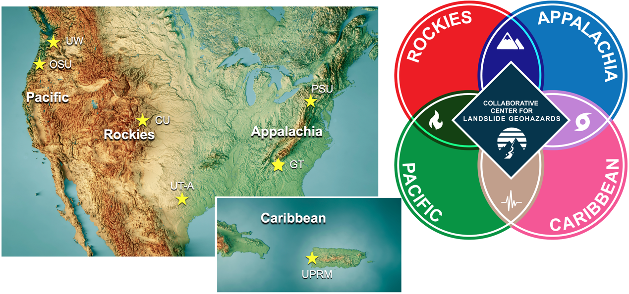
The Pacific region of focus for the CCLG encompasses the U.S. west coast states of California, Oregon, and Washington. Geographic subregions referred to within this domain include Cascadia (sometimes referred to as the Pacific Northwest) and the four main geographic regions of California: coastal, inland valley, mountains, and desert. Cascadia extends from Cape Mendocino in northern California through the states of Oregon and Washington. The term applies to the physiographic region impacted by the active tectonics and attendant geohazards of the Cascadia Subduction Zone (CSZ). Although much of the entire Pacific focus region experiences tectonic activity and high rates of landsliding, the geology, topography and climate vary. The CSZ tectonic boundary, the Olympic, Cascade Mountains, and coastal ranges, and a wetter, cooler climate dominates in Oregon and Washington, whereas the San Andreas Fault System (SAF), the Coastal Ranges and Sierra Nevada and a Mediterranean climate distinguish California.
Abundant and diverse drivers of instability affect hillslopes regionally, with precipitation (both from storms and seasonal accumulation), earthquakes, and wildfire chief among them. Although each of these plays a role in landslide susceptibility, the prevalence and frequency of landslide triggers forms subregional patterns. Recent work in Cascadia suggests that rainfall, rather than earthquakes, is the predominant landslide triggering mechanism (LaHusen et al. 2020; Struble et al., 2020; Struble et al., 2021). Despite proximity of steep terrain and coastal mountains to the CSZ, a megathrust with large earthquakes every ~500 years (Goldfinger et al., 2012), little evidence yet exists in the landscape for widespread coseismic triggering of deep-seated landslides (Grant et al., 2022). Indeed, the 2014 Oso landslide disaster in WA underscores that while strong ground motion likely incites disturbance to the hillslopes, it is certainly not required in this region to trigger devastating, complex landslides (Iverson et al., 2015; Wartman et al., 2016; LaHusen et al., 2016; Booth et al., 2017; Reid et al., 2021).
Earthquakes on the numerous, active crustal faults of CA do generate a strong landscape response (e.g., Keefer, 2000; Harp et al., 1996). But the combination of seasonal wildfires followed by rainstorms ranks higher as a more common (and increasing) slope stability issue, especially in southern CA. Wildfire can significantly alter the hydrologic response of (Doerr et al., 2009; Parsons et al., 2010) and the sediment yield into (Lamb et al., 2011, 2013; DiBiase and Lamb, 2013; Prancevic et al., 2014; DiBiase et al., 2017; DiBiase and Lamb, 2020) a watershed, thus priming the landscape for shallow landslides and debris flows with post-fire storms (Cannon et al., 2008; Kean et al., 2012; Rengers et al., 2020, Thomas et al., 2023). The tragic 2018 Montecito debris flows, which occurred when intense January rain triggered a series of debris flows on recently burned, steep catchments in the Santa Ynez Mountains, serves as a stark example of how dangerous post-fire landscapes can be (Kean et al., 2019).
In recognition of the importance of landslide hazard and risk, the state geological surveys of WA, OR, and CA have personnel and programs devoted to landslide hazards, with each state maintaining an online landslide database that includes mapped deposits as well as locations of historical landslides, available to the public and other researchers freely.